8,3 km | 14,7 km-effort


Gebruiker


Gratisgps-wandelapplicatie
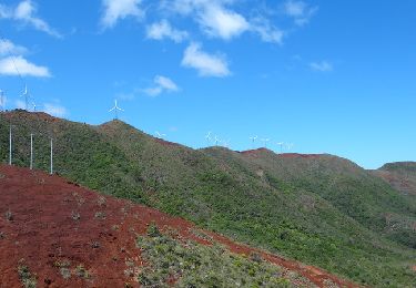
Tocht Stappen van 6,8 km beschikbaar op Onbekend, Province Sud, Mont Dore. Deze tocht wordt voorgesteld door zazie.
Une très belle vue sur Nouméa. Attention à la descente technique !

Stappen


Très belle randonnée, un cheminement très bien réalisé, bravo d'ailleurs pour le boulot ! Nous avons pris le chemin côté mer, plus court. Mais très raide. Il est classé "Difficile" et je confirme ! il faut être en bonne santé pour s'y attaquer. Nous avons mis 4h aller-retour, pause comprise, quand ils donnent 4h30 en théorie.